


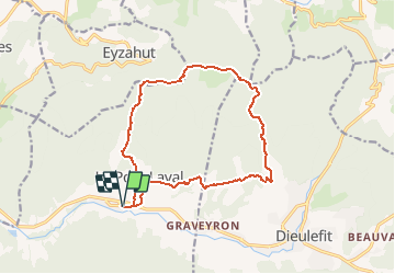

17.3 km | 31 km-effort


User


FREE GPS app for hiking
 SityTrail
IGN / Geographical institutes
SityTrail World
The world is yours!
Trail On foot of 15.9 km to be discovered at Auvergne-Rhône-Alpes, Drôme, Le Poët-Laval. This trail is proposed by jeanjacquescavet.
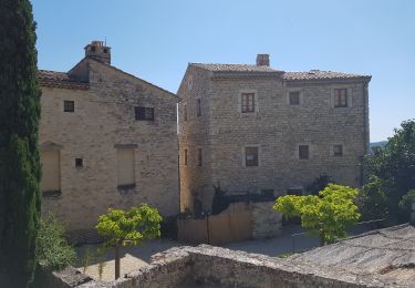
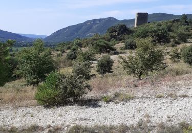
Boucle au départ de Poët Laval.
direction Dieulefit par les Vitroullières, Col du pertuis , Sommet de Serre Gros .
Retour à Poët Laval par les plaines et le vieux village

On foot

Walking

Walking

Walking

Walking
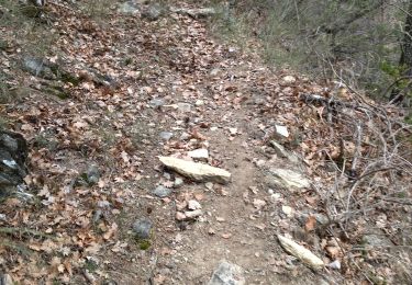
Walking

Walking
Walking
Walking